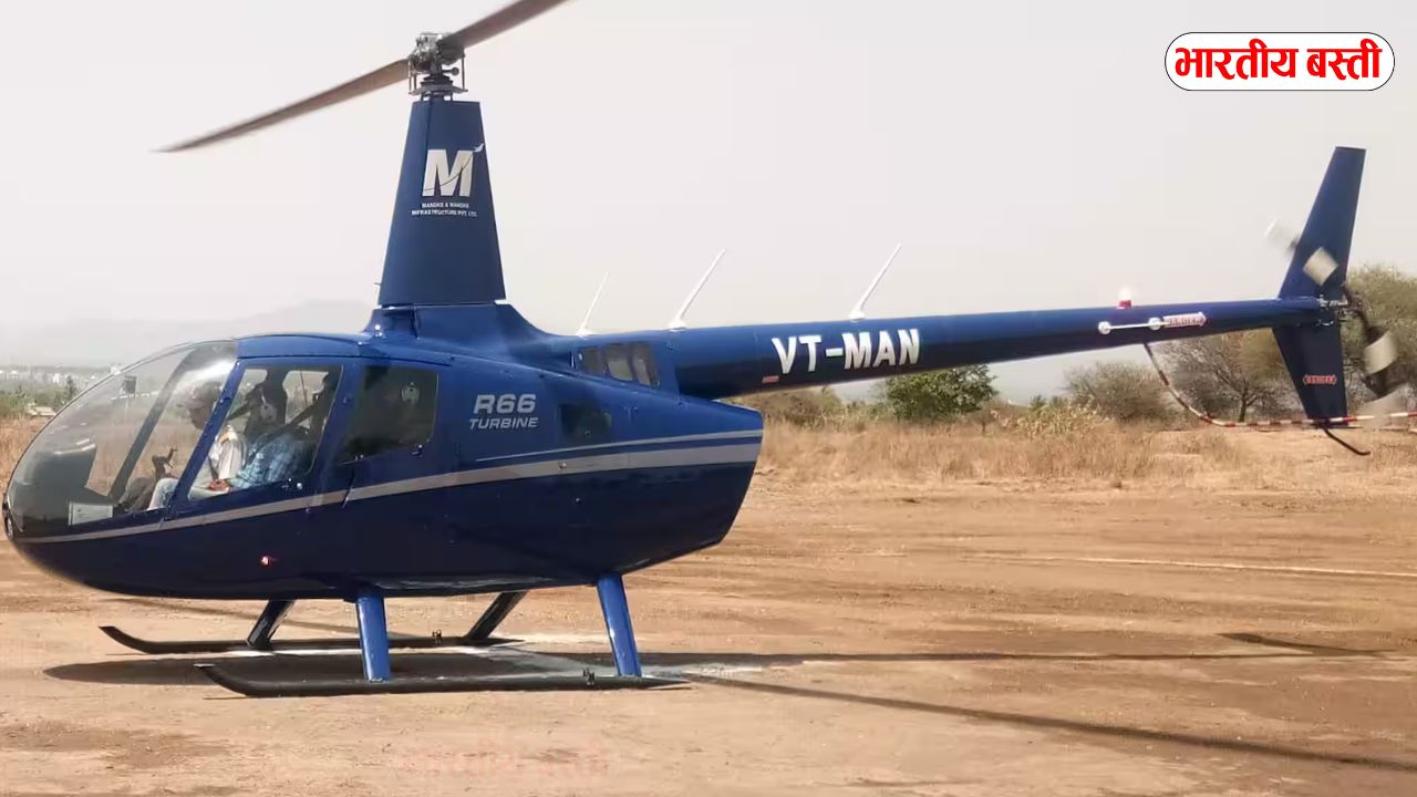
The movement of helicopters is going to increase in Uttar Pradesh for the next two days. The state government has activated helicopter services in view of the upcoming religious and tourism programs. During this time, helicopters will fly to various places and take aerial photographs of every house.
Aerial photography and surveillance
The state government has started helicopter services from Ayodhya, Mathura, Agra, Varanasi, Prayagraj, Lucknow, Gorakhpur, Naimisharanya, Kapilvastu and other major religious places. Under these services, devotees and tourists can reach these places by air.
Aerial photographs of these sites will be taken by helicopters. Which will provide a new experience to devotees and tourists. If you see a helicopter flying in the sky of Jhansi for the next two days, do not be surprised.
This survey is being conducted.A helicopter will fly over the skies of the metropolis for the next 2 days and the lidar sensor installed in it will measure the height of the tall buildings of the metropolis from the ground. 128 points have been marked in the metropolis for the survey from where photographs will be taken covering an area of 161 kilometres.
This is the second phase of the ‘Naksha’ scheme, while before this the helicopter which flew for two days captured photographs of every house in the entire metropolis.
During these helicopter services, aerial photographs of various places will be taken by the helicopters. This initiative has been taken by the state government with the aim of promoting tourism and religious activities.
Devotees and tourists can cherish their travel experience through these aerial photographs.The Rural Development Ministry of the Government of India is running the Digital India Land Records Modernization Program.
Under this, land records are to be modernized. It has been started in Jhansi and Gorakhpur along with 8 Nagar Palikas and Nagar Panchayats of the state.Under this map (National Geospatial Knowledge Based Land Survey of Urban Habitat) project, in the first phase, an aerial survey was conducted in the metropolis on 11th and 12th April.
A step towards smart governance
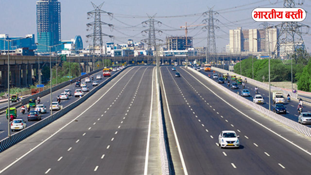
Aerial photography and surveillance is now becoming an influential government tool in many states of India, including Uttar Pradesh. This initiative is playing an important role in areas such as smart cities, land management, security monitoring and disaster management.
After this, the entire data will be uploaded on the Survey of India’s software. After collecting data from the aerial survey under the map scheme, complete details related to the land will be prepared.
After this, physical verification will be done with the team of Municipal Corporation and Revenue Department, after which the complete records of the land will be uploaded on the software. This time the survey will be done with lidar sensor and the height of tall buildings from the ground will be estimated.
After this, the entire data will be uploaded on the Survey of India data software. Photos were captured. Municipal Commissioner Satya Prakash said that the second phase of this survey will start from Sunday.
For this, 128 points have been marked in the metropolis, from where the helicopter will fly for the next two days and will circle 161 square kilometers of the metropolis.This time a survey will be done using lidar sensor and the height of tall buildings will be measured from the ground. Images were captured.
The second phase of this survey will begin from Sunday. For this, 128 points have been marked in the metropolis, from where the helicopter will fly for the next two days and will cover 161 square kilometers of the metropolis.