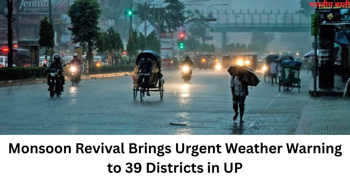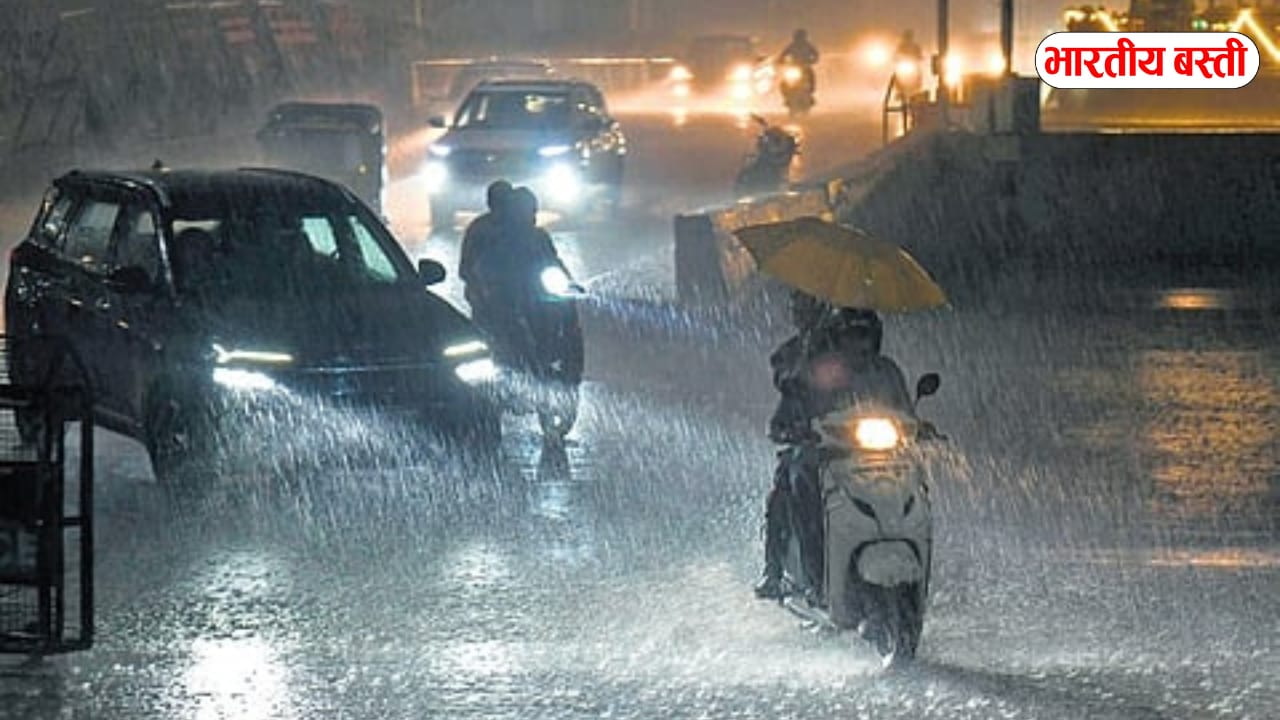
Monsoon activities are causing Uttar Pradesh weather to change, with a stable atmosphere accompanied by clouds, thunder, and high winds. It also signals the start of the monsoon, which might bring with it localized waterlogging conditions.
Bad Weather in upcoming days
In the next 24 hours, the monsoon is predicted to shift in several parts of Uttar Pradesh, with heavy rains predicted in the western state starting on June 25. In certain places, a warning of torrential rain has been issued.
According to meteorologists, the monsoon has spread throughout Uttar Pradesh and is currently expected to cover the whole state, with the exception of a few regions in the western state. This type of atmosphere will now persist for a few months.
Rainfall is predicted in 16 areas of the state through June 29th, according to a heavy rain advisory that was issued on Tuesday. Numerous locations in the state’s eastern and western regions are predicted to see thundershowers and heavy rain on June 24.
The information received indicates that thunder and lightning are expected on June 24 in the following locations: Ballia, Shravasti, Azamgarh, Banda, Deoria, Agra, Hamirpur, Jalaun, Lalitpur, Pilibhit, Firozabad, Jhansi, Mahoba, Deoria, Balrampur, Maharajganj, Bahraich, Kushinagar, Balrampur, Siddharthnagar, and Maharajganj. On Monday, the Indian Meteorological Department reported that Kanpur city has received two orange rain alerts.
However, since it hasn’t rained yet, the clouds have raised a red flag. The changing of the turf line from Pakistan, which passes through the center of the state, has disturbed the rain cycle. As of right now, the weather service has issued a yellow rain alert for Tuesday.
On June 17th, the monsoon arrived in Uttar Pradesh en route to Madhya Pradesh.Since then, the monsoon has spread quickly throughout the entire state. While the southern portion of the state, particularly Kanpur, did not receive adequate rainfall, other districts in the state did.